Walking is the most natural mode of transportation. It is available everywhere and is usually the first and last part of a journey, whether long or short. We have developed an area-based approach for computing the paths and reachability for pedestrians, calculated to an accuracy of just a few meters.
We use heterogeneous data sources and can even model desire paths which are not explicitly mapped in the base data. In particular, we do not rely on a consistent routing network. As an initial base map, we use OpenStreetMap data, but we can complement or replace it with other sources such as Open Government Data (e.g. pedestrian routes) or private data.
Walk Time Analysis for a Point
You can calculate pedestrian time analysis for any point or address. With our calculation, you get the precise walking time for any location up to a 20 minute limit. Additionally, you can calculate footpath estimates for all locations with the area. The accuracy of the analysis area is within five meters.

Which amenities can be reached within 2, 5, 10 minutes from a given point or a set of points? Which potential customers can reach my location on foot? –
The Walkalytics approach gives you an edge in these questions.
Quality of Service Coverage for Pedestrians
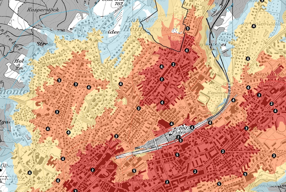
Given a set of POIs such as retail locations or bus stops, you will obtain a map detailing areas of pedestrian reachability. The map combines the viability of walking as a transportation mode with respect to each POI, such that you can assess any location according to your service coverage. Furthermore, you can categorize your POIs to fine-tune the reachability assessment.

For prospective shop locations, Walkalytics can tell you who your potential walk-in customers are.
Customization & Integration
Whether you bring your own data or you want to use walk time analytics in your existing Business Intelligence tools: We can help by integrating your specific needs into our algorithms and by including the results of our calculations into your tool chain.

Walkalytics offers you unique business insights. And we can tailor our analysis to your specific requirements.
Please contact walkalytics@ebp.ch for details, including pricing.
